File:Mahood Lake.JPG
Jump to navigation
Jump to search

Size of this preview: 800 × 600 pixels. Other resolutions: 320 × 240 pixels | 640 × 480 pixels | 1,024 × 768 pixels | 1,280 × 960 pixels | 2,560 × 1,920 pixels | 3,264 × 2,448 pixels.
Original file (3,264 × 2,448 pixels, file size: 3.44 MB, MIME type: image/jpeg)
Summary
| Description |
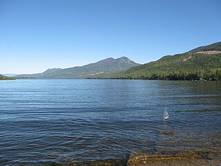
English: Mahood Lake, BC |
| Date | |
| Source | Own work |
| Author | Koltonsmith |
| Camera location | | View this and other nearby images on: OpenStreetMap |
|---|
Licensing
| I, the copyright holder of this work, release this work into the public domain. This applies worldwide. In some countries this may not be legally possible; if so: I grant anyone the right to use this work for any purpose, without any conditions, unless such conditions are required by law. |
File history
Click on a date/time to view the file as it appeared at that time.
| Date/Time | Thumbnail | Dimensions | User | Comment | |
|---|---|---|---|---|---|
| current | 06:50, 12 May 2009 | | 3,264 × 2,448 (3.44 MB) | Koltonsmith | {{Information |Description={{en|1=Mahood Lake, BC}} |Source=Own work by uploader |Author=Koltonsmith |Date=2008-08-15 |Permission= |other_versions= }} {{location dec|51.881366|-120.526199|type:waterbody_region:CA-BC}} <!--{{ImageUpl |
File usage
The following page uses this file:
Global file usage
The following other wikis use this file:
- Usage on arz.wikipedia.org
- Usage on ceb.wikipedia.org
- Usage on de.wikipedia.org
- Usage on en.wikipedia.org
- Usage on en.wikivoyage.org
- Usage on www.wikidata.org